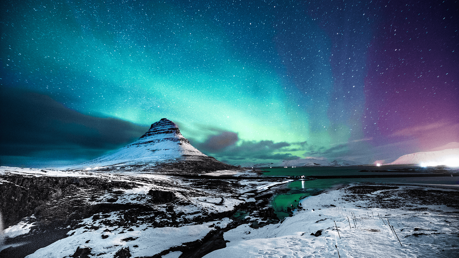
The Geography of Glacial Volcanoes in Iceland
Iceland is often called the "Land of Fire and Ice," due to its unique geography. It is one of the few places on Earth where you can stand directly on a plate boundary and watch the planet’s most powerful forces work against each other in real time.
When we talk about the geography of Iceland, we are looking at a constant battle between tectonics, volcanism, and glaciation. For a college student, seeing these natural forces battle in person is an incredible experience. It turns complex textbook theories into more easily understandable real-life examples.
In this article, we will explore the remarkable geography of Iceland’s south coast and the "Golden Circle," highlighting why it is the ideal destination for a geography study trip. But let’s go back in time first, and understand how the Iceland that we know today came to be.
The history of Iceland’s geography
To understand Iceland we see today, we have to look back at its history. Iceland exists because of a "perfect storm" of geological events. It sits where the Mid-Atlantic Ridge (a giant crack in the ocean floor) meets a Hotspot (a plume of hot magma rising from deep inside the Earth). Millions of years ago, constant volcanic eruptions under the sea built up layer upon layer of basalt rock until it finally broke through the surface of the Atlantic Ocean.
During this time, the climate was much warmer. Students can find fossils of maple and leaf-bearing trees in the older rock layers of the Westfjords, proving that Iceland was once a lush, green forest, which is widely different from the Iceland that we have come to know today.
The “Ice” in Iceland
About 2.5 million years ago, the global climate cooled, and Iceland entered the Pleistocene Epoch, or the Great Ice Age. This is the period that truly carved the landscape we see today.
Massive glaciers, sometimes several kilometres thick, covered the entire island. As these glaciers moved, they acted like giant sandpaper, grinding down the volcanic mountains and carving out the deep fjords that define the coastline.
During this time, there was a constant battle of lava and ice going on. Volcanoes continued to erupt under the heavy ice sheets, creating flat-topped mountains called Tuyas (or table mountains), which are a unique feature of Icelandic geography.
The Holocene era
The last major ice sheets retreated about 10,000 years ago, leaving behind the landscape we recognise today. However, the geography changed again when humans arrived around the year 874 AD.
Before humans arrived, about 40% of Iceland was covered in dense forests. The settlers cut down the trees for timber and used the land for sheep grazing. This led to massive soil erosion, as the thin volcanic soil was no longer held down by tree roots.
Today, students can study the "reforestation" projects across the country, where Icelanders are trying to plant millions of trees to fix the damage done over a thousand years ago.
Iceland today
We are currently in a period where the geography is changing faster than ever. Because of rising global temperatures, Iceland’s glaciers are retreating at a record pace.
As the ice melts, the weight on the land is decreasing, causing the island to actually rise out of the sea. This changes river courses, creates new lagoons, and even affects how often volcanoes erupt because there is less pressure holding the magma down.
The unique geography of Iceland and its glacial volcanoes
The most fascinating part of Iceland’s geography is the subglacial volcano. In most parts of the world, volcanoes sit in the open air. In Iceland, many of the most active volcanoes are buried under hundreds of metres of solid ice. This creates a very specific type of geography that you will not find elsewhere.
When a volcano erupts under a glacier, it doesn’t just produce lava. The heat melts the ice from the bottom up, creating massive pockets of water trapped under the glacier.
Eventually, this water breaks through in a flood called a jökulhlaup, which translates to “glacial run”. These floods move mountains of sediment and ice, completely reshaping the landscape in a matter of hours.
For students, studying these events offers a deep look into how volcanic heat and ice work together to create new landforms and change river systems.
The south shore of Iceland
Iceland’s southern coast is a perfect natural laboratory for studying how water moves across the land and how the sea carves the shoreline. Because the South Shore faces the open North Atlantic, the waves and weather here are among the most powerful on Earth, making it an ideal place to study how persistent physical forces shape landscapes.
Skógafoss and Seljalandsfoss: Fluvial systems
Waterfalls are vital for understanding fluvial systems, also known as river systems. They also offer great photo opportunities! Skógafoss is a massive, powerful curtain of water that drops over a former sea cliff. Students can observe how the river erodes rock over time and how the landscape has changed as the coastline has moved farther away.
Nearby, Seljalandsfoss offers another incredible experience for students, because they can actually walk behind the waterfall. This allows students to see the different layers of volcanic rock and how the softer layers are eroded more quickly than the harder ones. It’s a perfect example of vertical erosion and the formation of plunge pools.
Reynishverfi and Dyrhólaey: Coastal systems
The coastline near Vík is renowned for its black-sand beaches, but for a geography student, the genuine interest lies in the coastal systems. At Reynishverfi, you can see incredible basalt columns that look like they were carved by hand, but they are actually formed by cooling lava. These columns are exposed to the brutal power of the North Atlantic Ocean.
Students can study marine erosion here on a massive scale. At Dyrhólaey, the giant sea arch shows how waves slowly eat away at the headlands to create stacks and arches. These are "high-energy" coastlines, meaning the sea is constantly and quickly changing the shape of the land. It’s a great place to discuss longshore drift and the transport of volcanic sediment along the shore.
Sólheimajökull: Glaciers in Iceland
If you want to understand glaciation, then Sólheimajökull is a must-see on a student geography tour to Iceland. This glacier is an outlet from the much larger Mýrdalsjökull ice cap, which sits on top of the active Katla volcano.
Walking near or on the glacier allows students to see the physical evidence of ice movement. You can see moraines (piles of rock pushed by the ice), crevasses, and the dark layers of ash trapped inside the ice from past eruptions. Because the glacier is currently retreating, it is also a site that can bring on discussions of climate change. Students can measure how much the ice has melted in recent years and see the "dead ice" left behind.
The Golden Circle
The Golden Circle is Iceland’s most famous travel route, but for a geography student, it is much more than a tourist trail. It is a journey through the very forces that build our continents and power our modern world.
This area provides a clear look at how lithospheric plates move, how water interacts with volcanic heat, and how massive amounts of energy are stored just beneath the surface.
Thingvellir: Tectonics
Thingvellir National Park is a key site in Iceland for the study of tectonics. It is a rift valley where the North American and Eurasian tectonic plates are pulling away from each other. Students can literally walk between the two plates. This is commonly referred to as a "divergent plate boundary."
As the plates move apart, the ground sinks, creating the dramatic cliffs and fissures you see today. It’s a rare chance for students to physically see the Earth’s crust growing. This movement is also what causes the volcanic activity that Iceland is famous for, as magma rises to fill the gaps created by the moving plates.
Geysir and Gullfoss: Fluvial systems
At the Geysir Centre, water deep underground is heated by magma until it boils and explodes through the surface. It is a perfect demonstration of how heat moves through the crust.
A short drive away is Gullfoss, the "Golden Falls." The water of this waterfall tumbles into a deep canyon that was carved by massive floods at the end of the last Ice Age. Studying the sheer volume of water here helps students understand the incredible energy found in Icelandic river systems.
Why you should consider a Geography tour to Iceland
For lecturers, Iceland is the perfect lecture hall. It offers a hands-on experience that you simply cannot get indoors. Students don't just learn about topics like subglacial eruptions and tectonic movements; they get to experience them firsthand.
An Iceland trip helps students build important academic skills, such as:
- Field observation: Learning to read the landscape and identify different types of rock and ice formations.
- Data analysis: Understanding how scientists monitor volcanoes and glaciers to predict future changes.
- Environmental awareness: Seeing the direct impact of climate change on glaciers and the importance of renewable energy.
Let StudyLink handle the journey
Arranging a geography study trip to a place as wild and complex as Iceland can be a massive task. There are weather conditions to consider, safety protocols for glaciers, and the logistics of moving a large group across volcanic terrain.
This is where we at StudyLink Tours come in. We understand that as a lecturer, your focus should be on the education, not the paperwork. Our main goal is to handle every single detail, from the initial planning and booking to the actual execution on the ground. We provide the local expertise and logistical support needed to make sure your trip is safe, educational, and completely stress-free.
Would you like us to help you design a custom geography itinerary for your students? If you are interested in planning your own geography student tour to Iceland, get in touch with us today, or request a quote and let's start planning your Iceland adventure!